GURUGRAM: Land has been altered, trees have been felled, and an electricity line has been extended to support new buildings that have come up within the Damdama Lake catchment, which is part of the protected Aravalis. To facilitate access, a 3km kuccha road was carved through the catchment, a zone protected under Sections 4 and 5 of the Punjab Land Preservation Act (PLPA), which prohibit non-forest activity.
The road starts behind the Haryana tourism department’s Damdama Tourist Complex and runs along the lake’s basin to connect newly raised concrete structures.
The road, which was 1.5km long in 2021 and 2023, now doubled in length; on both earlier occasions, the forest department dug trenches to block its use.
Damdama, the only surviving Aravali foothill lake, is critical to Gurgaon’s groundwater recharge and depends on a 5,000-acre catchment.
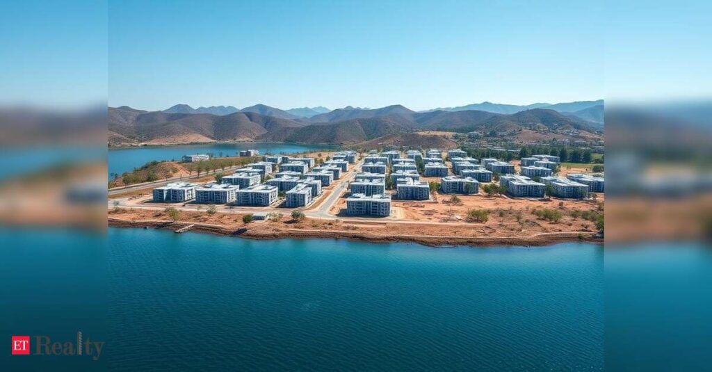
A TOI site visit on Tuesday found around 10 acres of scrub forest levelled and fenced with green chain-link and metal sheets. A semi-permanent red-roof structure, an electricity pole and an overhead power line were visible inside the enclosed parcel, indicating that a power connection was extended. Expansion of a farmhouse on elevated terrain was also observed, suggesting continuing alteration of the natural landscape.
Forest officials said they will inspect the site to verify fencing, construction and electrical extension.
Divisional forest officer Raj Kumar said, “Non-forest activities are not permitted without approval. Action will be taken as per law if violations are found.”
Environmental groups have sought a joint inspection by forest and revenue departments and removal of unauthorised structures, cautioning that ongoing encroachment threatens both Damdama Lake and the broader Aravali recharge system vital to Gurgaon’s groundwater security.
The catchment, which feeds monsoon run-off from surrounding Aravali hills into the 62-acre lake, is notified under Sections 4 and 5 of the PLPA, requiring prior approval for activities such as land clearing, construction or change in land use.
Environmentalists warn that levelling and fencing disrupt natural drainage patterns and compact soil layers crucial for percolation.
Environmentalist Vivek Kamboj said, “Once land is cleared and enclosed, the hydrology changes. Blocking or diverting run-off, even in parts, weakens the recharge cycle.”
The recent activity mirrors earlier construction inside the catchment, where a 1.5km road carved along the basin allegedly blocked two feeder drains. Activists say the pattern — improving access, then levelling land, followed by fencing and utilities — gradually converts protected catchment into private use.
Groundwater data for Sohna block shows levels declining from 23.6 metres in 2018 to 26 metres in 2019 and 2020, reinforcing concerns in a region declared a “dark zone” by the Central Groundwater Authority in 2011.
Groundwater levels in Sohna hovered in the mid-20m range over the past four years, recorded at 25.59metres in 2021, 25.38metres in 2022, 26.67metres in 2023 and 25.71metres in 2024.
The area also did not undergo chakbandi (land consolidation), which revenue officials say would help clearly demarcate land use and access. In its absence, environmentalists warn of piecemeal development in an ecologically fragile zone.